


It is a much calmer start this morning compared to last night and on Friday. Wind speeds are not nearly as strong as they once were across central Indiana. Peak wind gusts exceeded 40 MPH in Indianapolis and Muncie. Other cities were just shy of 40 MPH within a 24-hour period.

Central Indiana also saw light rainfall Friday evening and throughout the overnight hours. Rain totals were minimal with only a trace amount picked up at the Indianapolis Airport. The highest totals were below 0.20” and concentrated over north-central Indiana.

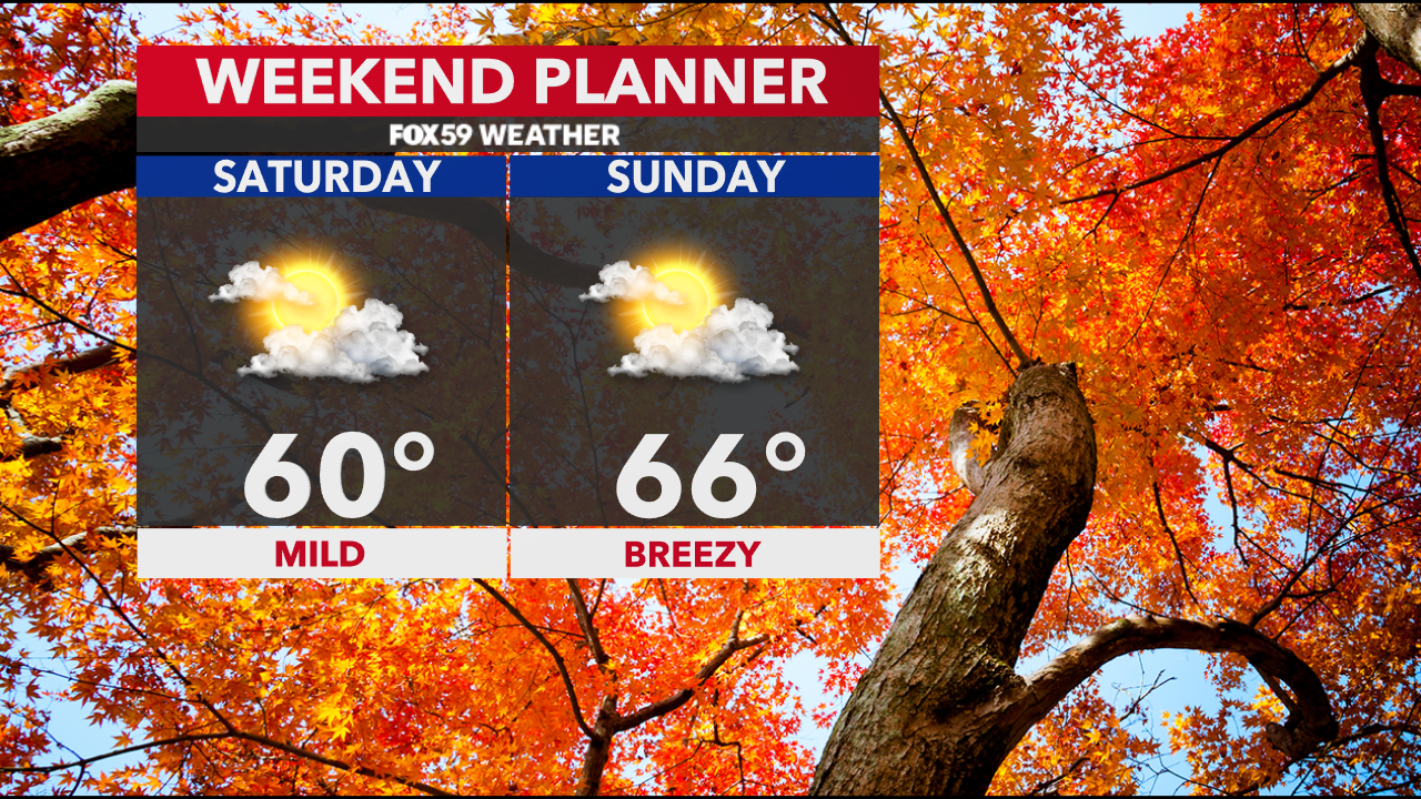
The pavement is wet this Saturday morning, but the area is drying out. Higher pressure is going to build into the Ohio Valley today. Temperatures will rise near 60° with a mix of sunshine and cloud cover. Winds are going to be much lighter today and out of the west-southwest.

Dry conditions will persist this evening overnight. Skies will be partly cloudy with lows dropping into the lower 40s.

The Colts have a home game tomorrow and the weather looks dry if you plan to tailgate or attend. Wind speeds are going to pick up again Sunday afternoon and evening with gusts up to 30 MPH. It is also going to be slightly warmer with highs in the mid-60s, which is near the average high for the date.

Big changes arrive early in the new work week! By Monday, a strong storm system is going to slide over the Great Lakes region with a trough setting up over the area. A few showers will be possible on Monday as wind speeds turn very strong.


Highs will struggle to rise into the mid to upper 40s on Monday and Tuesday. This will be the coldest air we have seen since mid-April. Temperatures will recover late in the week with highs back into the mid-60s Friday and Saturday.


