


Posted:
Updated:
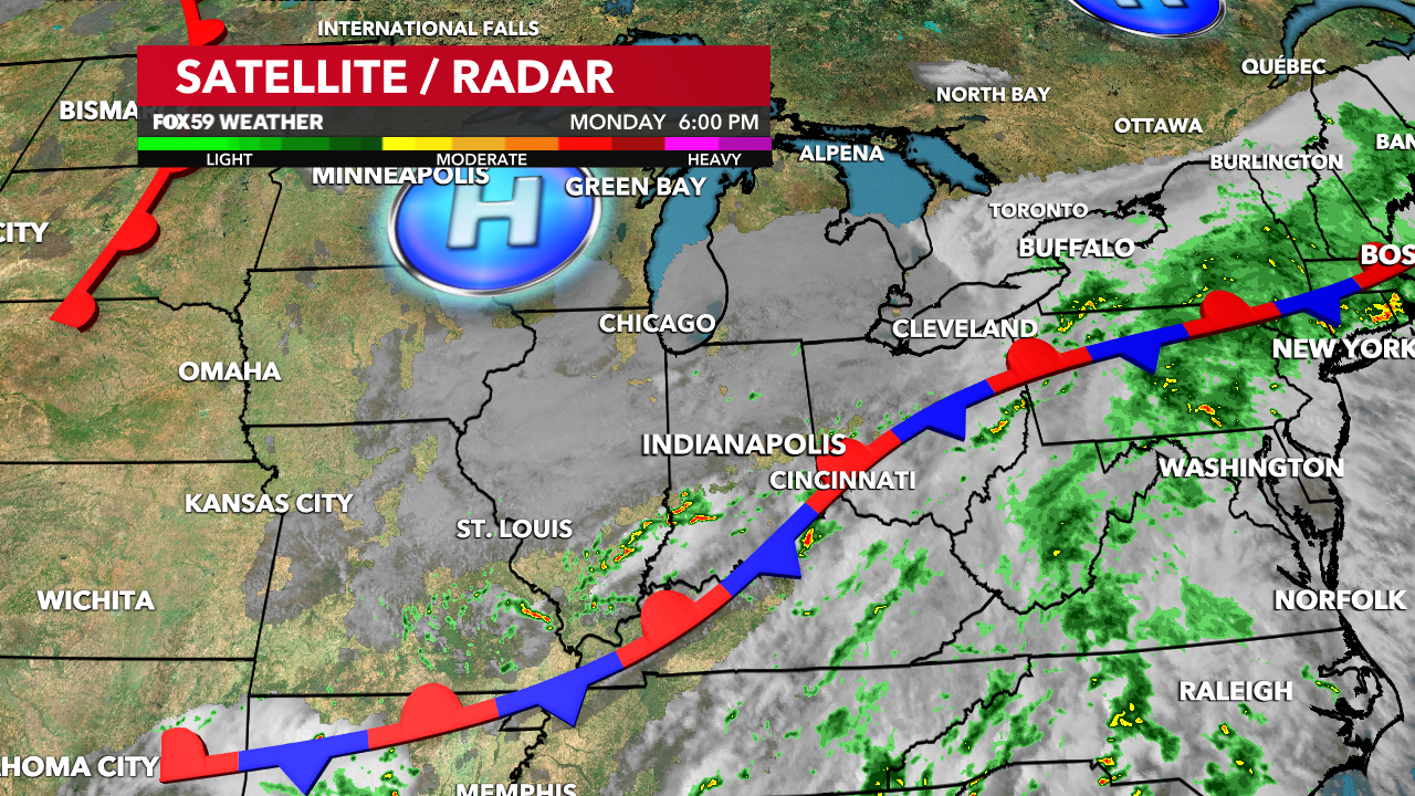
INDIANAPOLIS – Cooler & drier weather is slowly forcing its way back into Central Indiana now that a stationary front has sagged to our south. After several days with mostly cloudy & at times rainy weather, we can finally look forward to a change by midweek!

Transition begins on Tuesday
Humidity & isolated pockets of shower activity will follow us into early Tuesday morning. Lows will reach the upper 60s thanks to cooler airflow at the surface. Along with humidity, widespread fog is possible during the morning. Fog & cloud cover will gradually diminish as we head through the morning, along with any lingering shower activity. Conditions will continue to improve through the afternoon with a partly cloudy sky and drier air. We’ll finally enjoy a comfortable evening with rain chances near zero into Wednesday morning.

A temporary break from rainy weather
The sun will be back out on Wednesday along with a noticeably drier feel in the air. There will still be clouds around, though far less numerous than in the days leading up. Temperatures should be able to reach the low 80s with the nicer weather conditions, even with a northerly wind. The nice weather will take us into Thursday as well. After a cool start to the day in the 55-60 range, we should manage to reach highs in the low 80s thanks to a mostly sunny sky. Friday will be another nice day too, and a southerly wind will give us an extra kick in temperatures. Expect a partly cloudy sky and mid-80 degree highs.

This nice stretch will come to an end once clouds & rain return over the weekend, so make sure to take advantage while it’s here!

Read More: Rain chances diminish as drier air finally returns to the state!


