


INDIANAPOLIS – Today is the fifth straight day with high temperatures failing to come within just 10 degrees of average. Surprising as that may sound, the coldest weather still has not arrived.
Steady drying, but snow hangs around
Snow has been the subject of our weather on Wednesday. Though it has been light primarily, isolated bursts of moderate snowfall have impacted the evening commute. All of this will begin to taper off through the evening though clouds will hang around.
Thursday morning begins in the 20s, but clouds and a cold west wind will not allow us to warm up very much. With the exception of a few clouds breaks, it will remain bleak with highs in the mid 30s. Isolated snow showers are possible at any time as well.

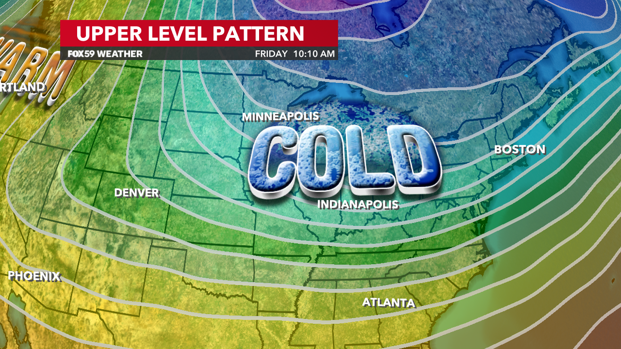
True cold settles in this weekend
The biggest burst of cold will begin to settle in on Friday. A digging trough will bring cold air through the Northern US and a frigid northwesterly wind will carry it across the region. A mostly cloudy sky will limit daytime heating and we are likely to see temperatures remain in the 20s throughout the entire day. Feels-like temperatures will be in the single digits and teens. Overnight clouds will keep us from getting too cold, but our first lows in the teens are still expected to follow.

Saturday will remain cold, though we will begin to see more sun. Highs will reach the mid 30s, but it will feel more like the low 20s with the wind. Temperatures may not recover much on Sunday, but the wind will finally begin to die down.

Read More: Cold pattern tightens its grip


